

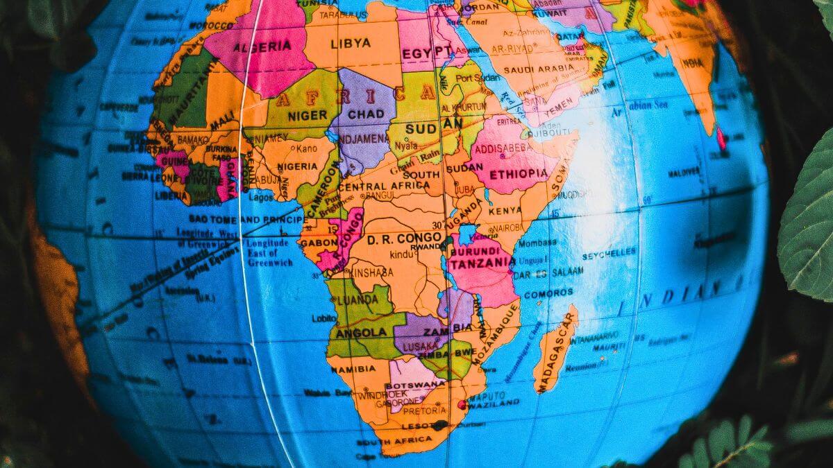
A map most people have never questioned just lost a vote at the United Nations. On Friday, the UN General Assembly adopted a resolution backing a more accurate world map, one that finally shows Africa at something close to its true size, closing out a campaign that took less than eighteen months to go from a modest online petition to a formal global endorsement.
The resolution, titled Correct the Map, passed by 164 votes to one, with six abstentions. It was sponsored by African Union member states alongside the Bahamas, with Togo leading the campaign on the continent’s behalf. The United States stood alone in voting against it, with its representative arguing the measure promoted an ideological agenda and distracted from what it called the genuine problems of international peace, prosperity and good relations.
Notably, the resolution carries no legal force. It does not require any country or institution to abandon the Mercator projection, and Togo’s foreign ministry was careful to clarify that the change in no way affects Mercator’s continued use for maritime and aerial navigation, the purpose it was originally designed for.
The map at the centre of the dispute was drawn in 1569 by Flemish cartographer Gerardus Mercator, built specifically to let sailors plot a straight compass bearing across open water. For that purpose, it remains genuinely effective even today. Its flaw only becomes visible once it gets used as a general reference map of the world, since the projection stretches landmasses more severely the further they sit from the equator.
The practical result is that Greenland appears roughly the same size as Africa on a standard Mercator map, when Africa is in reality around fourteen times larger. Europe, Russia and North America all gain a similar visual bulk they do not actually possess, while Africa and South America shrink correspondingly.
Campaigners argue that distortion is not a neutral quirk of cartography but a genuine influence on how the world thinks about Africa. Selma Malika Haddadi, deputy chairperson of the African Union Commission, put it plainly to Reuters when the AU first endorsed the campaign in August last year, saying it might seem like just a map, but it really was not, since the false impression that Africa is marginal shapes media coverage, education and policy far beyond the classroom.
Moky Makura, executive director of the advocacy group Africa No Filter, has been even more direct, describing the Mercator’s distorted portrayal of Africa’s size as the world’s longest running instance of misinformation.
Rather than campaigning against Mercator outright, the movement has pushed for wider adoption of the Equal Earth projection, developed in 2018 by cartographers Tom Patterson, Bernhard Jenny and Bojan Šavrič. Equal Earth sacrifices some of Mercator’s precise shape preservation in exchange for genuinely accurate relative size, giving Africa, and the rest of the equatorial world, its true proportional footprint on the page.
The campaign itself was launched in April last year by Africa No Filter and Speak Up Africa, gathering momentum through a public petition before the African Union formally endorsed it on August 14, a milestone organisers described at the time as the campaign’s biggest yet.
Fara Ndiaye, co-founder of Speak Up Africa, has said the group is now working to make Equal Earth the standard taught in African classrooms, hoping the same shift eventually extends to the global institutions that continue to rely on the older projection.
Some institutions had already begun moving in that direction before this week’s vote. The World Bank has said it already favours the Equal Earth or Winkel Tripel projections for static maps and is phasing Mercator out of its web based mapping, while Google Maps made Mercator optional on its desktop platform back in 2018, even though it remains the default on mobile.
Speaking after Friday’s vote, Makura struck a note of measured satisfaction rather than victory, telling reporters that the real work was only just beginning, a reminder that a UN resolution, however symbolically significant, changes very little on its own until classrooms, atlases and digital maps actually start reflecting it.
